
The Mary Towneley Loop
Welcome
to The Mary Towneley Loop, a (47 mile)
circular route which forms part of the Pennine Bridleway National
Trail.
The loop can be accessed at any point you like,
but for this description I started the ride in the Rossendale Valley and the small town
of Waterfoot.
First you climb very steeply out of Waterfoot
to meet an historic route, the "Grovey" Rooley Moor Road
that straddles the hills above Rochdale and Ramsbottom. "It
was built with stone sets to provide work during the cotton famine
in the 1860's."
North of Rochdale, the route passes over open moorland close to
Brown Wardle and Watergrove Reservoir, then onto Calderbrook.
The Trail then follows an old packhorse route from Bottomley to Erringdon with stunning views across the Calder Valley.
After brilliant hack along the flanks of stoodley pike you descend
near the historic town of Hebden Bridge.
The climb out of The Hebden Gorge is cruel, but has to be done.
Its then over to the ancient Gorple Road that crosses open countryside
providing splendid views towards Burnley.
Finally, the ride takes you up over Deerplay Moor and the descent
back into Waterfoot.
The best map for the route is O/S Explorer 21 or try this walk through with Google maps.
Starting here half way up the Widdop Climb!
More Mary Towneley and local Moorland pictures click here
Ok lets get going..
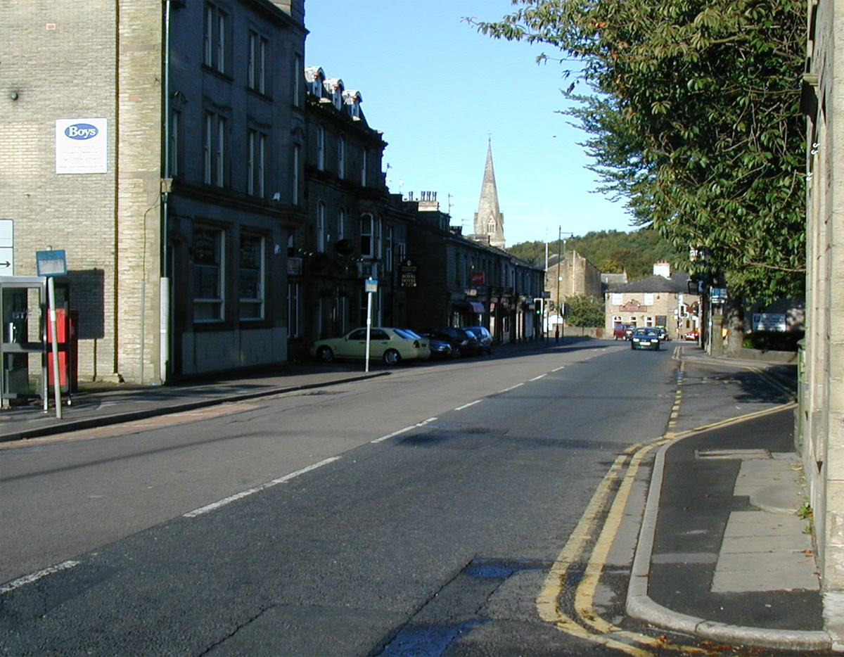
1 I started the ride here..
in Waterfoot. Its a small town hidden in the Rossendale valley.
There's accommodation, safe parking, shops and pubs.
Its also the starting place for the
Pennine bridleway mountain bike challenge.
Its a great way to get this epic under your belt.
Half of the way round the loop from here is the excellent township of Hebden Bridge, which is full of shops, pubs and a good Chippy.
I rode the loop in an anti clockwise direction for this piece, but have ridden it many times both ways. I must be the luckiest person alive to have all this and more within riding distance from where I live.
2"Looking back" 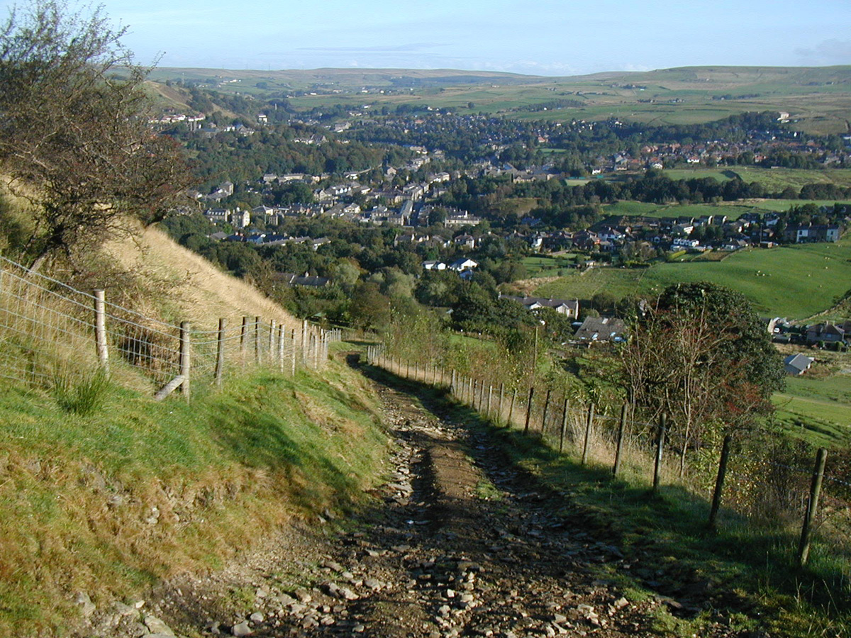
First climb of the day, and its straight up out of Waterfoot! Only the hardest climbers are going to nail this one without putting a footdown!
This is the difficult bit where its very loose and steep.
Follow your eyes to the far distance,
"that's Deerplay Moor, and Thievely pike".
If
the gods are smiling and there's a fair wind
you will be riding over there in 7 hours time!
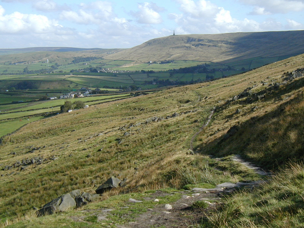
3" Did you clean it, I
didn't."
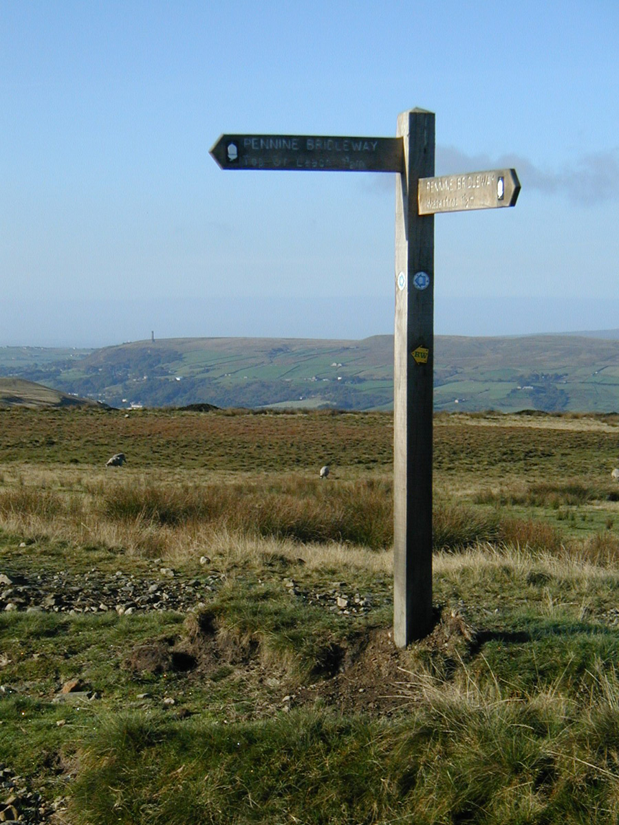
This is the top of the first climb.
Holcombe Tower ahead in the far distance.
Beyond that are the flat plains of Irlam.
Turn left and follow that finger post.
Its now an easy mainly flat section with great views opening up of the Rossendale valley as you make your way through Cragg quarry with your first introduction to the "groovy" stone surfaced cart tracks that Rooley moor is famed for. Just look at the ware in those stone sets and consider how many horses and carts must traversed across these hills as you make your way to the highest point of your ride and the Top of leach.
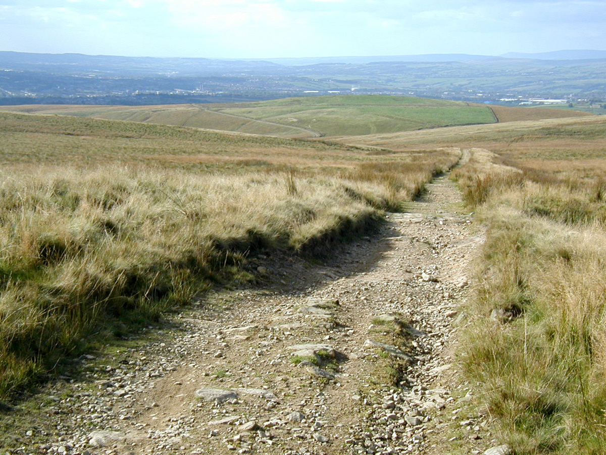
4 Oh no, the Rooley Moor Rd!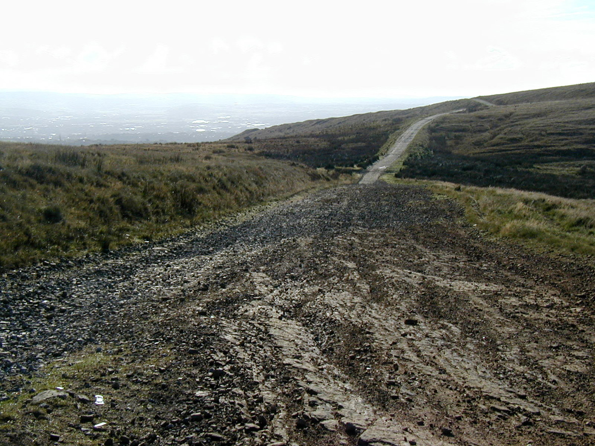
Straight ahead in the distance is the city of Manchester.
Going down Rooley moor rd will shake you to bits!
Try to ride next to the verge for a bit of relief.
If your coming the other way whilst
doing
the Mary Towneley Challenge clockwise,
you will wish you had not been
born!
Its cobbles then loose gravel and small round rocks.
if your coming up it goes on forever, pehaps 20 - 30 mins!
"its a love hate thing!"
5 Look out for the signpost..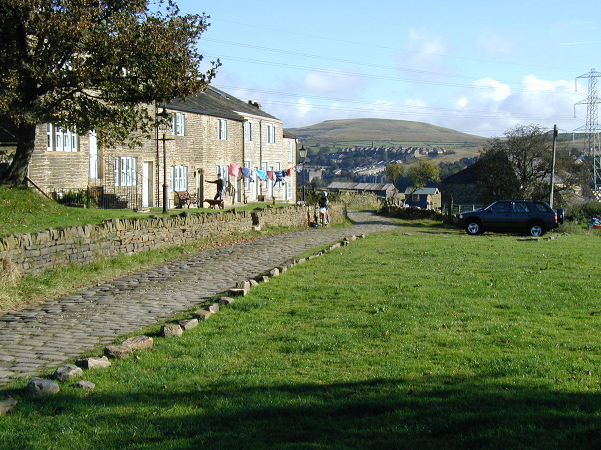
when you reach the barrier at bottom
of the Rooley Moor Rd
turn left and
cruise down into broadley fold.
Oh Please no more Cobbles!
"Never mind 29" wheels, you need 50"
for these babies!"
In the distance is Brown Wardle.
You will be climbing up to the right hand side
of that hill shortly.
6 "Looking back"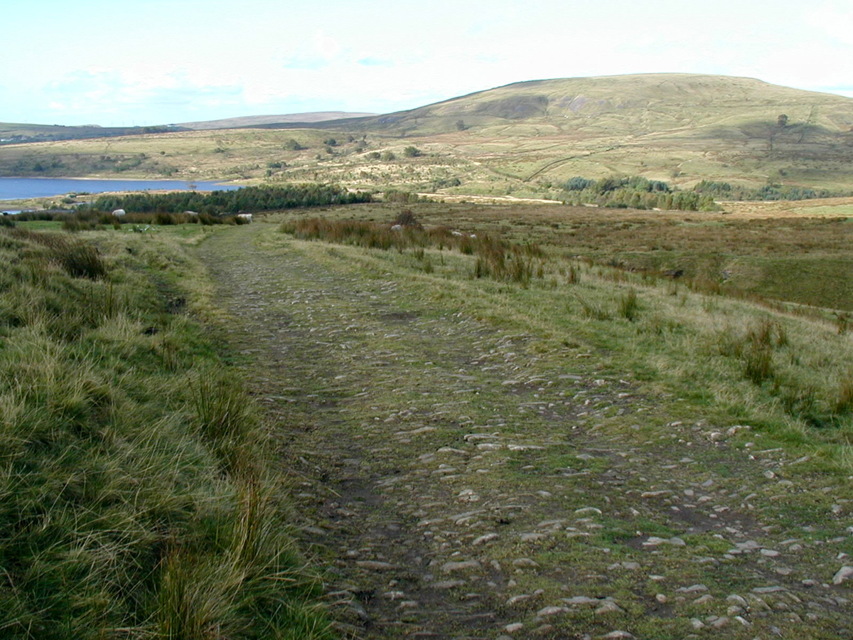
Watergrove Res on the left and
the Eastern side of Brown Wardle.
In the far distance you can just
make out Rooley Moor,
You remember Rooley Moor Rd don't you?
Yes that's right, its were you had your first puncture!
The next couple of miles are the brill, and most of it is downhill.
7 Calderbrook: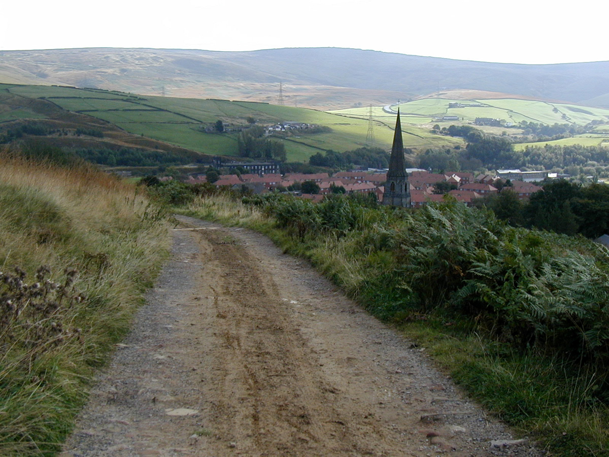
What about that for a bit of good riding?
In the far distance is Blackstone Edge.
In front of you Calderbrook
and to your right is the famous
Pennine Trout fishery.
More 10lb plus trout are caught in this
fishery then any other water in the country.
"turn left at the bottom."
8 Summit
Down below run the main arteries between Todmorden and Littlebourgh. The main rd, The Rochdale Canal, and the Summit Railway Tunnel.
Climb steadily and then you drop almost vertically down the valley to Bottomley. Turn left at the main road then right at the finger post. This takes you over the Canal and then "push" climb steeply on an old Packhorse trial to a farm yard. turn left in the yard to continue onto the lovely Walsden Moor.
9 Walsden Moor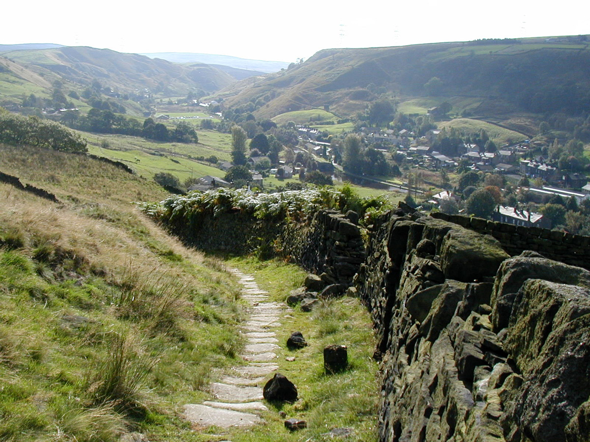
Looking back, Bottomley down below.
We have now crossed over to the
other side of the valley and
onto one of those pack horse
trails that this part of the
Pennine's are famous.
10 "Rake end"
Stoodley Pike dead ahead!
Ah, let your eyes follow the track into mountain bike Heaven. Bounce your way down the stone sets to the road and your first potential pub stop, "The Shepard's Rest". After this there's a quick tarmac downhill, look out for the sudden left turn at the bottom and up some steep cobbles. "OMG hit the granny ring!" "Behold" your second chance for some grub, The Top Brink. Then its up on to that wall line you can see below the monument. Its a great section, slowly climbing until you are well behind the monument. Enjoy your well deserved plummet on the long descent to the valley floor nr Hebden Bridge.
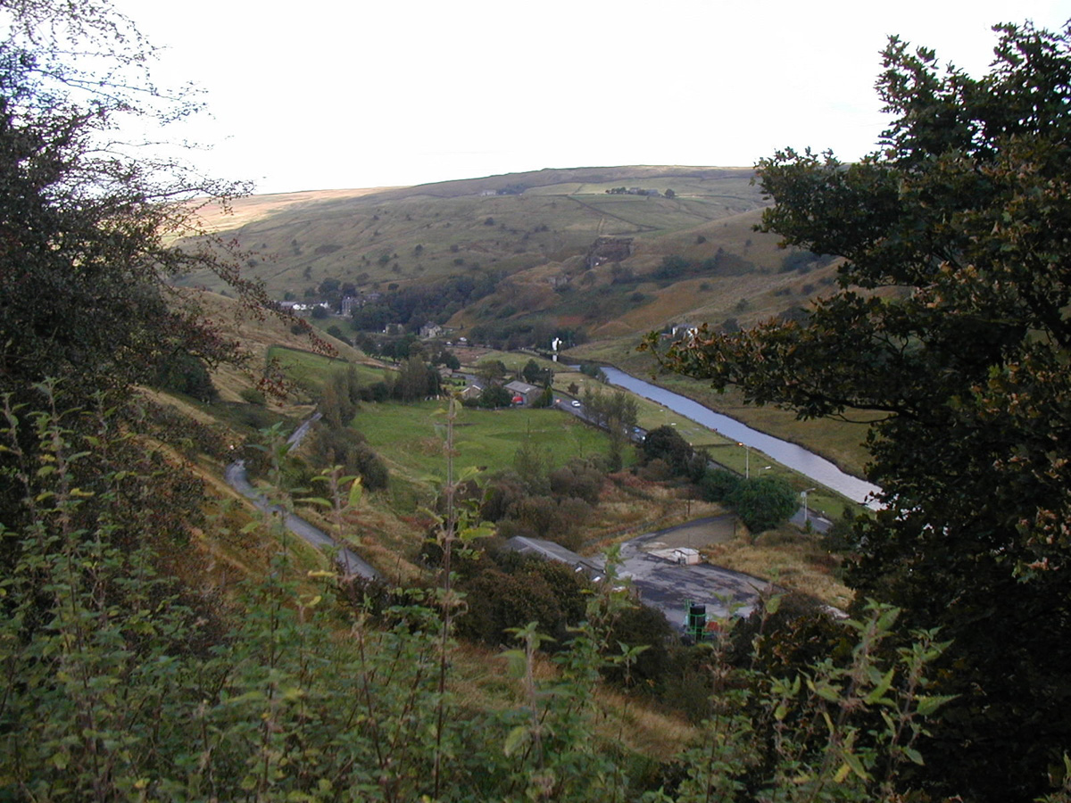
11 Half way !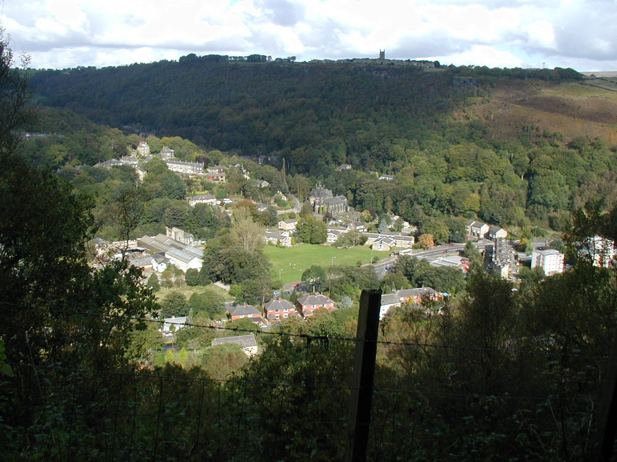
You are unlikely to stop during your speedy decent, so I have taken the time to stop take the camera out of my rucksack and show you what you missed!
Callis Wood to my left,
Hebden Bridge to the right,
and Heptonstall up above.
when you get to the bottom, go across the pegasus crossing, turn left for a few hindred meters then first right
under the railway and continue with the second half of your epic.
You may however wish to turn right and make a detour to Hebden Bridge.
12 Hebden Bridge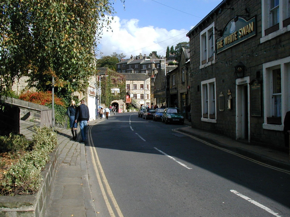
This lovely little town is about a mile off route.
So it takes a little extra effort to bring your
ride length up to the 50 mile mark.
Its a perfect stopping place.
Theres a great chioce of superb cafe's, sandwich shops and my favorite chippy. Time to take stock of the situation and give your body a rest. Maybe just watch the ducks, trout and pigeon's.
Hebden Bridge is worth a day out with or without a bike!
13 "Looking back"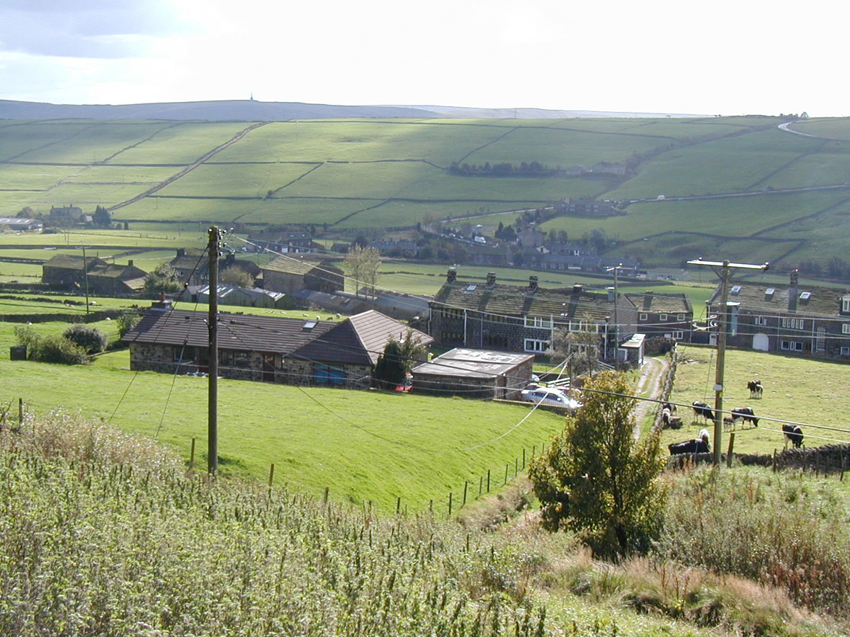
Its a cruel climb / push out from Hebden.
If you can ride it without a dab you must be a
climbing god, or goddess for that matter!
Write your name on the wall at the top if you do!
After gaining all that height you now drop down to the New Delight pub.
This picture was taken on Edge lane,
looking back down towards Jack Bridge
and the New Delight pub. Stoodley Pike is
way in the distance.
"the famous
Aladdin's cave shop only a few meters away to the left from where I took this pic"
14 Gorple Lower Res. 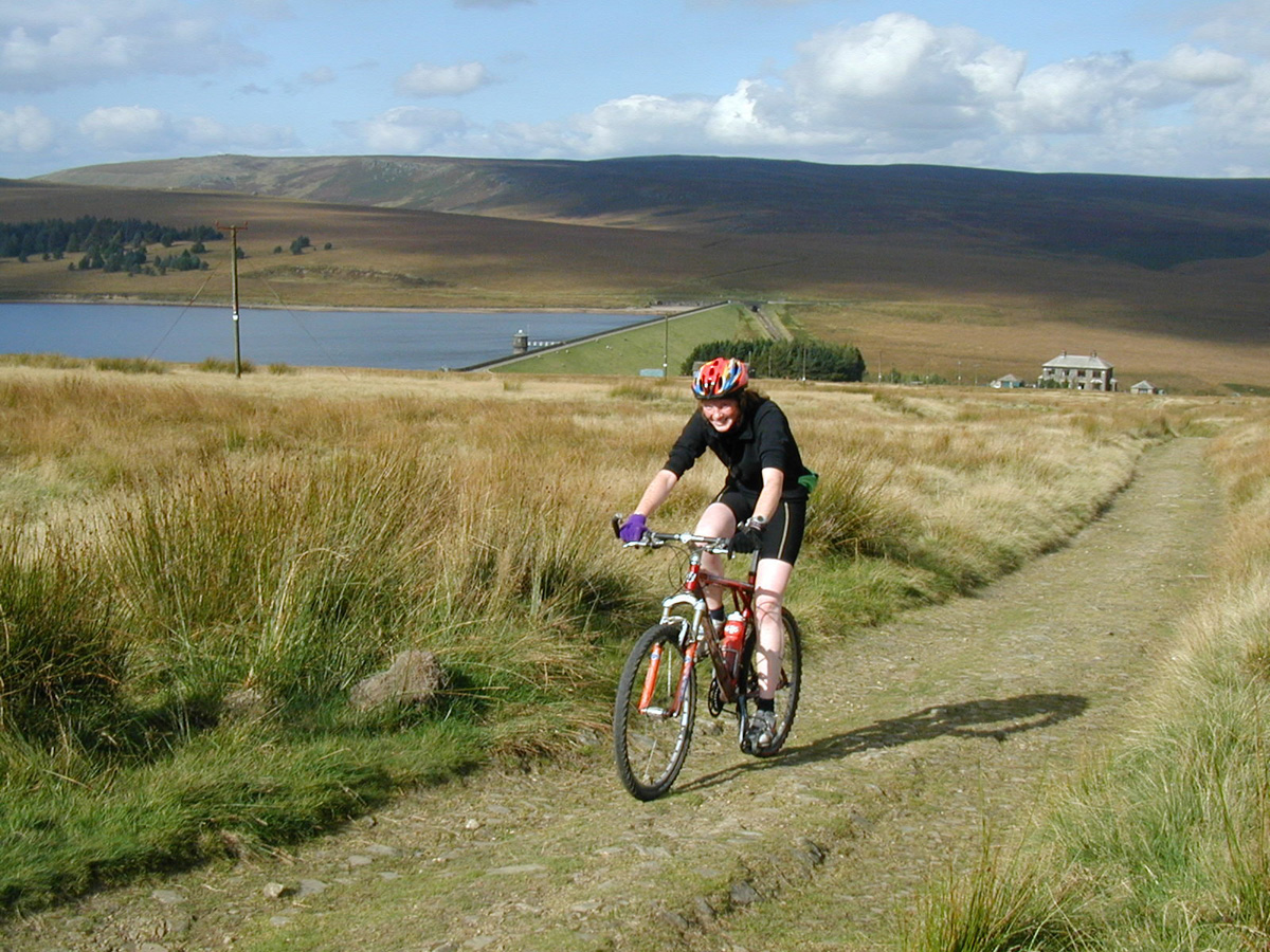
Edge Lane finally turns into bridleway,
it tops out over the crest of the moor at Reaps Coppy.
This fellow lady mtb,er is also enjoying the wonderful
tracks of the area, but unfortunately is going the wrong way.
I just held open the gate and let this beauty slip away!
Enjoy the fast loose downhill to the house nr the res.
15 "Looking back"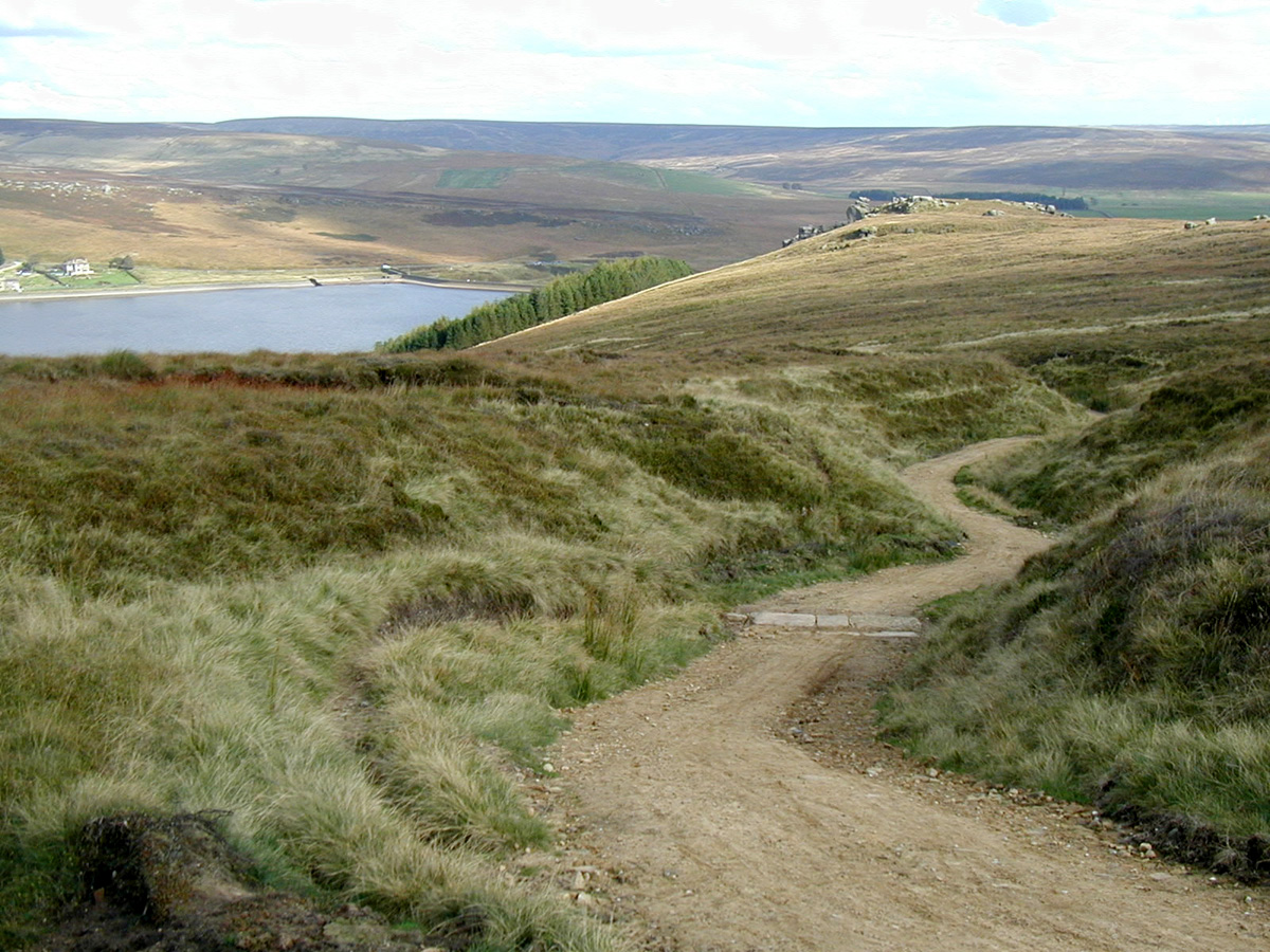
The final section of the Widdop Climb,
"If you can get around this bend you've nailed it"
I love this climb, it starts way down there on the Dam wall of Widdop Res.
It used to be quite an achievement to
get up without putting a foot down, as the track was very loose. But after several resurfacing attempts the worst bit shown here has now a nice grippy cobbled surface 2019.
This picture was taken in 2002 just after the track was resurfaced for the first of several attempts to sanitize this tricky terrain.
16 Gorple Gate.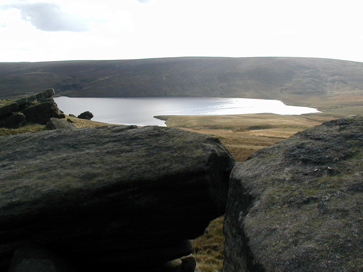
This is the Yorkshire/Lancashire
boundary.
At the summit of the
Gorple gate track.
"your gonna enjoy this next bit"
17 "Now for one of the best downhill's in the area."
Give this one your best shot,
Its loose and lumpy so, "watch out for the fist-sized rocks".
Most of it is eyeballs out and manageable.
Enjoy jumping those water barriers.
Its a lot smoother now since the Motor bikes
have stopped cutting it up.
If you can stay puncture free and
when your velocity finally drops on the banks of
Hurstwood res you will know what I mean.
Burnley is way down below in
the distance.
18 Are you still in one piece?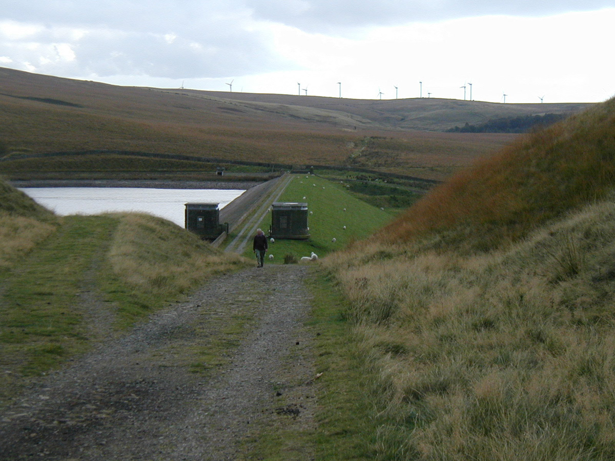
This is Cant Clough Res. Its just a little climb over the hill from Hurstwood Res.
Another nice piece of track takes you near to
Coal Clough wind farm in the distance.
Turn right when you get to the main
road, look for gate on opposite side to continue.
19 From near the wind farm
A good fast downhill. Its quite a good one this. Pick your line carfully to main full speed. Theres a small climb to spoil the fun but its only short and soon you continue to the valley floor.
This takes you down into the Cliviger Gorge and
Holme Chapel. Here you will find the last pub of the epic.
The Ram Inn.
One more big climb to go now,
and that's Deerplay Moor.
"There it is in the distance"
20 "Looking back half way up the climb"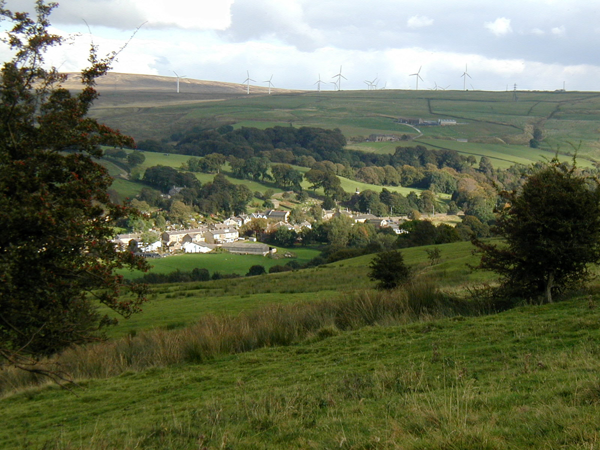
After crossing the main Rd at the Ram Inn,
its left down a track and under the railway.
As you look back you can see Coal Clough wind farm and
Holme Chapel down below.
This is one of the few un surfaced bits.
Its a grassy push unless your legs are like Iron!
If you can make it through the two hairpins
at the bottom and onto the grassy field you have a good
chance of cleaning this one.
Zig zag up the steep grassy climb to make the grade.
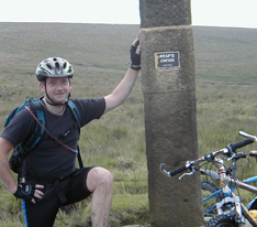
21 At the top  ..
..
of the grassy climb
you will come across this
monument.
When I arrived here, the late september afternoon sunshine picked out the inscription to its best effect. Take some time out here to reflect.
Thank you Mary, Lady Towneley.
"The air of heaven is that which blows between a horse's ears."
"Pause awhile besides this momument and remember Mary whose vision opened up once more these ancient routes so that you too can refresh your spirits as the wild and romantic terrain of the Pennine Bridleway unfolds before you."
22 And finally, here we go..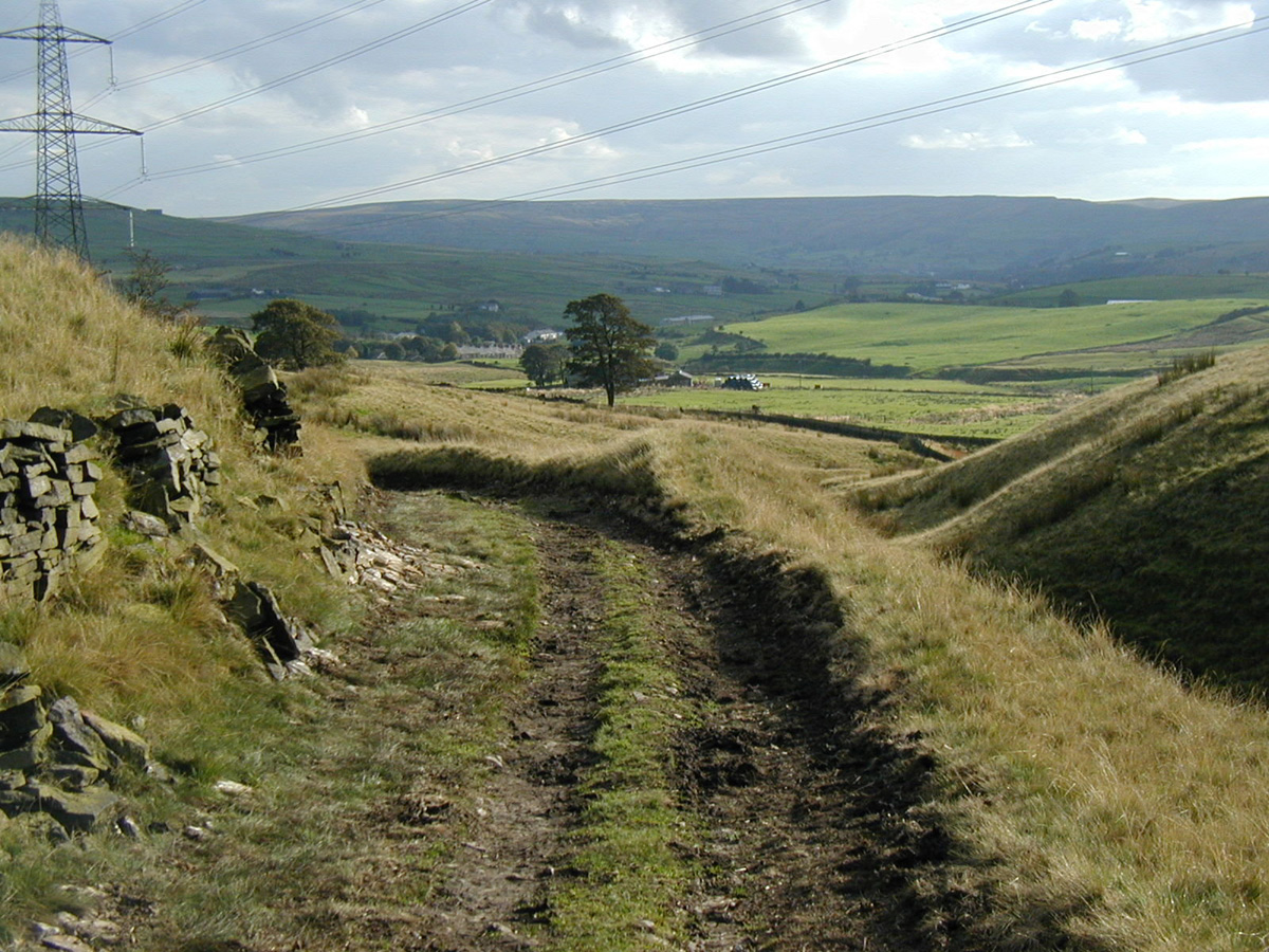
30 minutes from the end.
The last leg of the epic. An undulating descent back
down to Waterfoot. There's lot of gates,
but not as many as there used to be. Your body will ache with pleasure as the open countyside finally fades into 19th century blackend gritsone.
In the far distance is
Cowpe Lowe again.
I have to admit that this ride is
an absolute classic, and
is a must for any serious mountain biker.
If you would like to add any
comments regarding the Mary Towneley loop here..
ian@idonohoe.com
More Mary Towneley and other Lancs / Yorks Moorland pictures click here
This
Trail has been made possible by the generosity of Sport England
for their financial contribution and of landowners including United
Utilities,
Yorkshire Water, The Towneley Estate, Manor of Rochdale Estate
and numerous other private landowners who have dedicated new bridleway
links.
Many thanks to the staff at The Countryside Agency for their help with
the map.
Pennine
Bridleway web-site
The
best map for the route is O/S
Explorer 21

 Early Jobs
 Upto no good eh!